

Hiking trails
Five day hikes, all from Alplager at about 2 160 m: from a short climb to Broken Heart rock to a long day up to Racek hut.
Getting to the start
- Start
- Alplager, about 2 160 m
- Shuttle
- Free electric shuttles from the entrance checkpoint
- Cars
- No private cars since 1 May 2025, except electric ones
Sources: 24.kg, 29.04.2025, Park map (OpenStreetMap)
Compare the trails
Ranges show where sources disagree. Every figure links to its source below each trail.
Broken Heart rock
Easy- Distance, one way
- 1.2 km0.7 mi
- Ascent
- 180–255 m590–840 ft
- Time
- On the way to Tepshi
- Highest point
- 2 377–2 415 m7,800–7,920 ft
A rock split by a natural crack, with a wide view over the Ala-Archa valley. The shortest of the five.
Distance from Alplager in km. Park map altitudes, straight lines between known points. No guide needed: the trail is marked.
Tepshi plateau
Easy- Distance, one way
- 1.8–2 km1.1–1.2 mi
- Ascent
- 260–420 m850–1,380 ft
- Time
- 3–4 h round trip
- Highest point
- 2 458–2 580 m8,060–8,460 ft
A side plateau above the main valley, a short, easy walk on from Broken Heart rock.
Distance from Alplager in km. Park map altitudes, straight lines between known points. No guide needed: the trail is marked.
Ak-Sai waterfall
Moderate- Distance, one way
- 3.9–5 km2.4–3.1 mi
- Ascent
- 700 m2,300 ft
- Time
- 2–3 h up4–6 h round trip
- Highest point
- 2 665–2 860 m8,740–9,380 ft
The waterfall in the Ak-Sai side valley. The trail passes Broken Heart and Tepshi, then keeps climbing.
Distance from Alplager in km. Park map altitudes, straight lines between known points. No guide needed: the trail is marked.
Racek hut
Hard- Distance, one way
- 5.6–6.4 km3.5–4.0 mi
- Ascent
- 1 200–1 220 m3,940–4,000 ft
- Time
- 4–5 h up9–10 h round tripor stay overnight
- Highest point
- 3 300–3 380 m10,830–11,090 ft
A climbers' hut in the upper Ak-Sai valley. From the waterfall it is about 500 m more climbing and 2–4 more hours.
Distance from Alplager in km. Park map altitudes, straight lines between known points. A guide is recommended. The glaciers beyond the hut need a guide and equipment.
Adygene valley
Hard- Distance, one way
- 7 km4.3 mi
- Ascent
- No data yet
- Time
- 3–4 h up
- Highest point
- No data yet
A separate side valley. The path starts about 300 m before Alplager and climbs steeply to the Adygene glacier.
The park map has no altitude data for this trail yet.
No guide needed for the trail itself, but it is steep and long.
Sources: Backpack Adventures
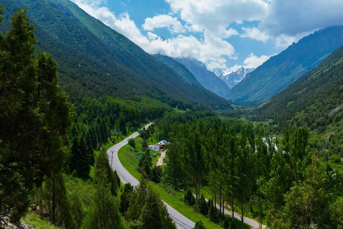
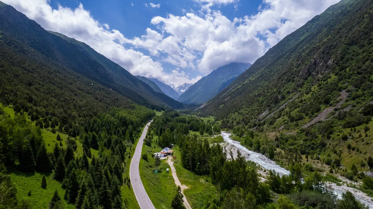
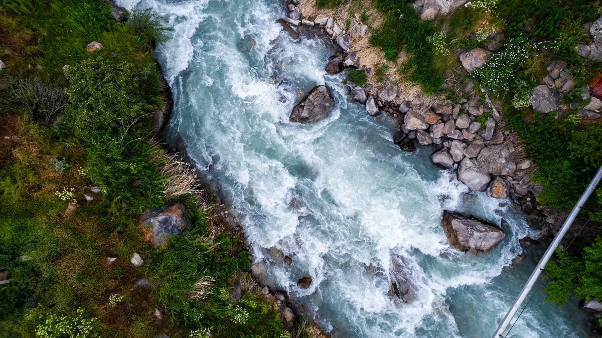
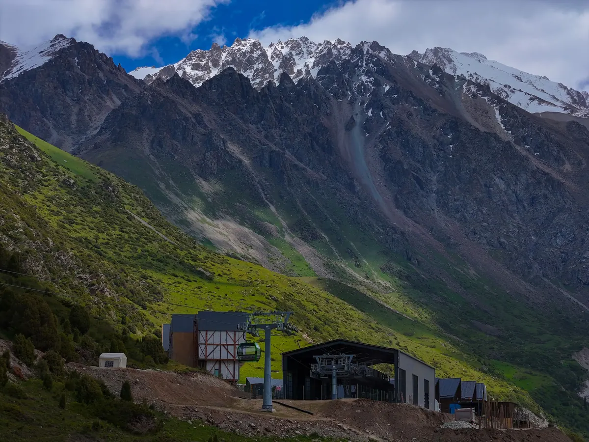
Park map figures are measured on the park’s own map, built on OpenStreetMap data. Times are walking times without long stops.
- No guide is needed for the marked day trails.
- Weather in the mountains changes fast. If it turns, head back down.
- Tick season: how to protect yourself
- Mudflow warning: what the signal means
- All safety information
Sources: Park map (OpenStreetMap) · Orexca · Eurasia.Travel · Explore Travel Oasis · Backpack Adventures · AsiaMixTravel · 24.kg, 29.04.2025. Figures checked on 15 October 2026.