
PDF
Safety
Warning signs 600 × 900 mm
Primary sign layout for placement in potentially dangerous areas.
454 KB
This page brings together the QR code, visitor instructions, and printable materials. It is designed to work well on a phone in the field and give quick access to the right PDF or document.
The QR can be printed, placed on a signboard, or shared with colleagues. The files are already attached here, so the page works both as an access point and as a compact material archive.

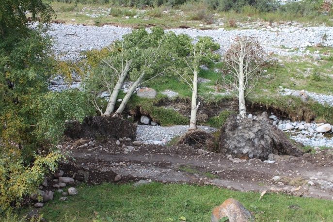
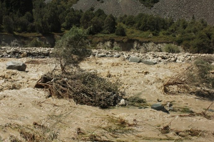
The Ala-Archa valley is exposed to mudflows caused by glacial lake outbursts. An early warning system is installed in the park: it detects the threat and tells people to evacuate immediately.
The siren is audible across the valley within the covered area.
Loudspeakers announce “Alarm. MUDFLOW”.
Black text on a yellow background in potentially dangerous zones.
If you hear the siren or the message “Alarm. MUDFLOW”, the system has detected a mudflow threat.
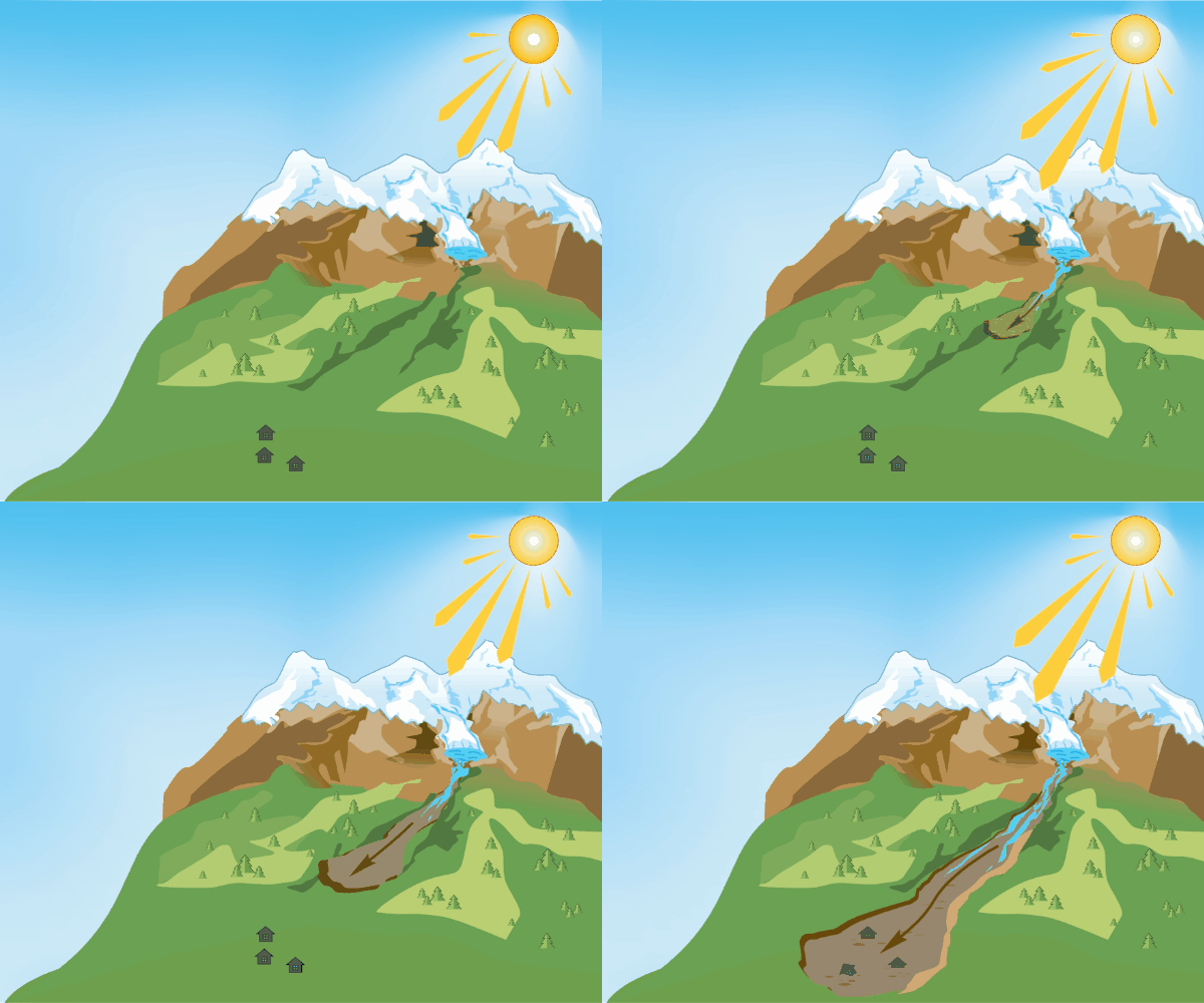
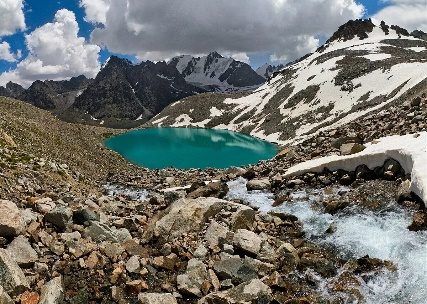
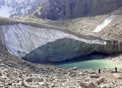
Glacial lakes in the upper park fill quickly as the glacier melts and can burst down the valley as a mudflow.
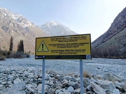
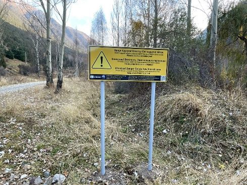
Yellow boards mark potentially dangerous zones. Signs with black arrows on yellow point to a safe direction; green ones mark a safe zone.
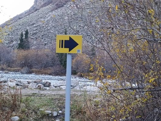
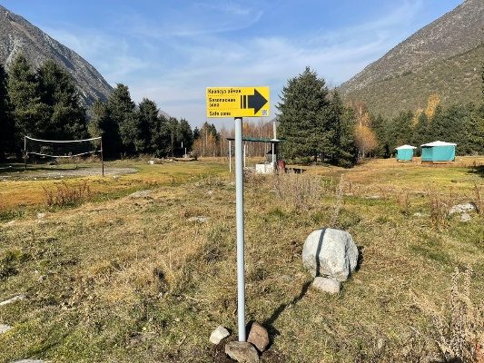
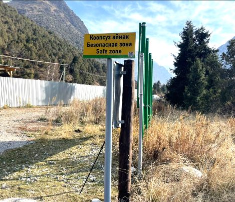
On 31 July 2012 the system triggered during the outburst of Tez-Tor lake in the upper Adygene. The timely signal allowed park staff, local residents and tourists to be evacuated. There were no casualties.
The regional project “Reducing vulnerability of Central Asian populations to glacial lake outburst floods in a changing climate” is run by the UNESCO Regional Office in Almaty with funding from the Adaptation Fund, through 2027. It develops early warning, monitoring and public information, and strengthens safety in mountain areas.
More about the GLOFCA project


A short guide for an emergency situation.
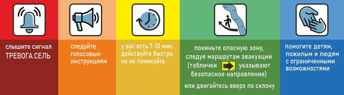
Stay calm and do not panic.
Listen to the instructions given over the loudspeakers.
Leave the dangerous area at once, following the evacuation routes.
If there are no signs nearby, head uphill or toward the nearest safe exit.
Get out of the riverbed immediately: even a small flow can be deadly.
Help children, women, elderly people and people with disabilities.
Wait for further instructions from park staff or the emergency services.
Do not return to the dangerous area without official permission.
PDFs are ready for quick viewing, while the DOCX stays as the working source file.
Primary sign layout for placement in potentially dangerous areas.
Alternative PDF layout for printing, review, and comparison.
Working document with explanations, instructions, and page content.